Geo Survey
A geo-spatial survey platform designed to streamline the survey process for various infrastructure projects. This platform integrates advanced mapping tools, real-time data collection, and route optimization features to enhance accuracy, efficiency, and project management.
Project
BBNL fibernet
Timeline
6 Months
Service
System Design
Year
2022
Brief
Surveying and planning for infrastructure projects involve complex requirements, including accurate mapping, route planning, and real-time data collection. Traditional methods often result in inefficiencies, inaccuracies, and delays, affecting project timelines and costs.
Highlights
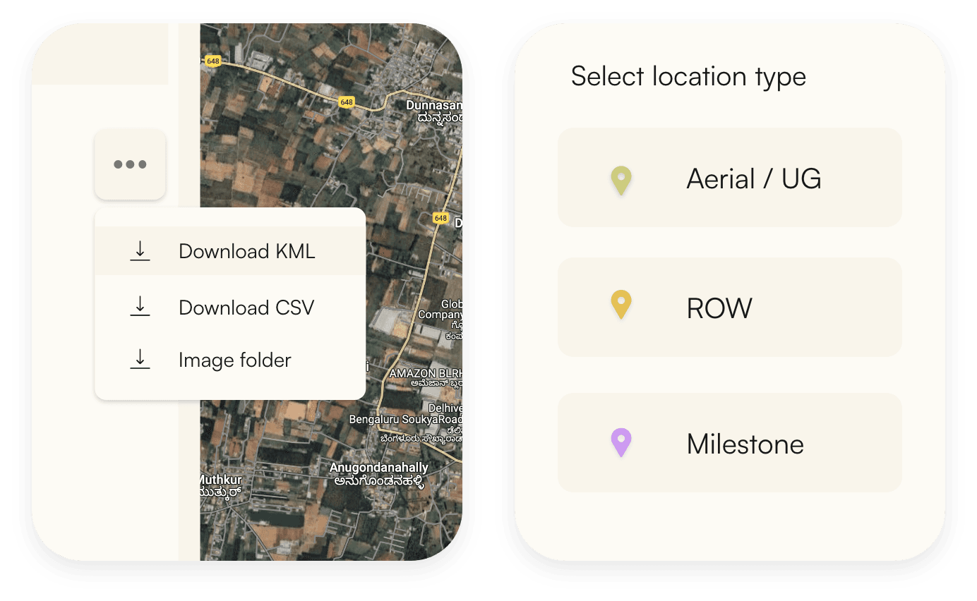
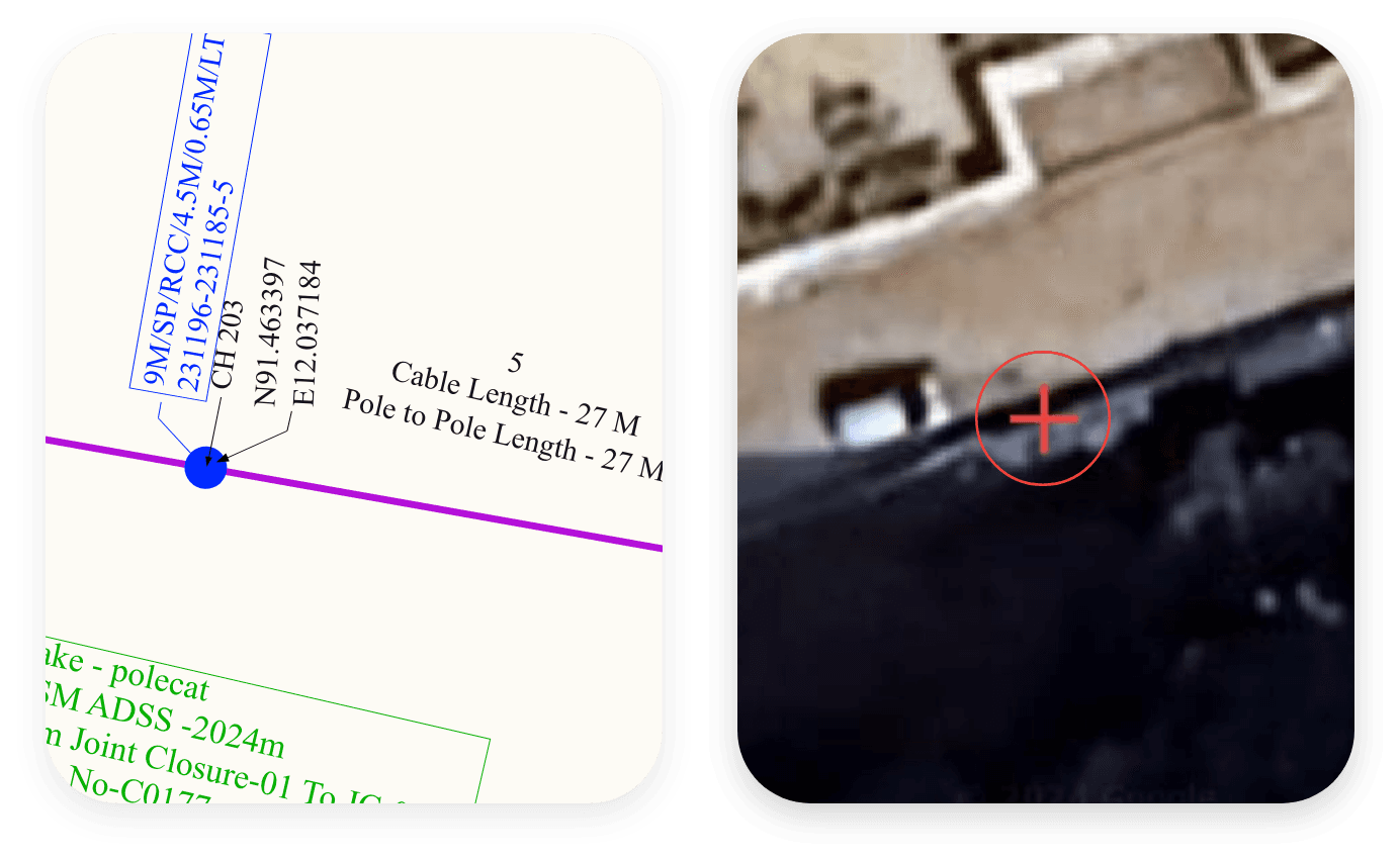
Advanced Mapping Tools Real-Time Data Collection Route Optimization Integration with GIS. Project Management Automated Reporting Detailed Analysis
Outcomes
Increased Accuracy Enhanced Efficiency Cost Savings Improved Project Management Data centralization Process streamlining